


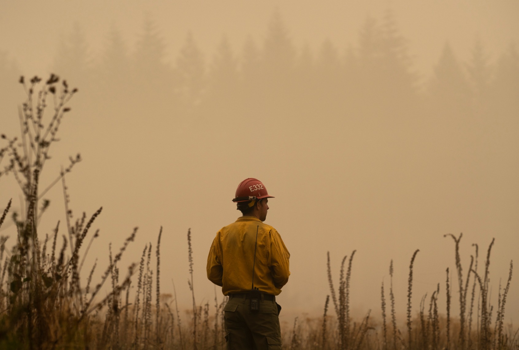
Oregon’s Wildfire Map: How Misinformation Sparked a Political Firestorm
In 2021, following Oregon’s most destructive fire season on record, the state government commissioned the creation of a wildfire risk map. Intended to guide fire-resistant building codes and prioritize areas for protective measures, the map assessed the wildfire risk of every property in the state. This initiative, spearheaded by wildfire risk scientist Chris Dunn, aimed to leverage Oregon’s unique land use laws and existing firebreaks to protect homes and communities. However, the rollout of the map was plagued by communication failures, leaving a vacuum quickly filled by misinformation.
The lack of proactive public outreach meant many homeowners first learned of their property’s “extreme risk” designation through a formal letter, sparking immediate backlash. This coincided with insurance companies dropping policies and raising premiums, further fueling anxieties. Despite official statements from insurers and regulators confirming that the state’s map was not a factor in their decisions, the narrative blaming the map took hold. Fueled by social media and amplified by conservative media outlets, the wildfire risk map became a scapegoat for rising insurance costs.
Misinformation spread rapidly through social media platforms, particularly within a dedicated Facebook group opposed to the map. Conspiracy theories, including the UN’s “Agenda 21,” gained traction, framing the map as a government overreach aimed at depopulating rural areas. These narratives tapped into existing anxieties about property rights and government control, further polarizing the issue and creating a hostile environment for reasoned discussion. Public forums intended to explain the map were even canceled due to threats of violence against state officials.
Republican lawmakers seized on the public outcry, framing the map as a bureaucratic overreach that threatened property values and rural livelihoods. Led by then-House Republican Leader Christine Drazan, they called for the map’s repeal, echoing the misinformation circulating online and in conservative media. Despite official assurances to the contrary, the narrative of the map’s detrimental impact on insurance and property values persisted, solidifying public opposition. This political pressure, combined with the escalating public outcry, put the future of the map in jeopardy.
The situation escalated to the point where state officials withdrew the map just a month after its release, acknowledging the need for better communication and public engagement. Despite legislative efforts to clarify that insurers were not using the state’s map and even passing a law prohibiting its use in setting rates, the damage was done. Misinformation continued to circulate, with some falsely blaming the state for wildfire risk assessments appearing on real estate websites like Zillow. The initial lack of communication and the subsequent spread of misinformation had effectively undermined the map’s intended purpose.
Despite attempts to re-release a revised map with clearer terminology and increased public outreach, the opposition remained strong. Thousands of landowners filed appeals, and several counties challenged the designations en masse. Ultimately, even lawmakers who initially supported the map, like Democratic Senator Jeff Golden, began to waver amid the persistent public outcry. The Oregon legislature voted overwhelmingly to repeal the map and its associated regulations, marking a victory for the misinformation campaign and raising concerns about the future of wildfire preparedness in the state. The experience serves as a stark example of how misinformation can derail even well-intentioned policy initiatives, with potentially devastating consequences.


