


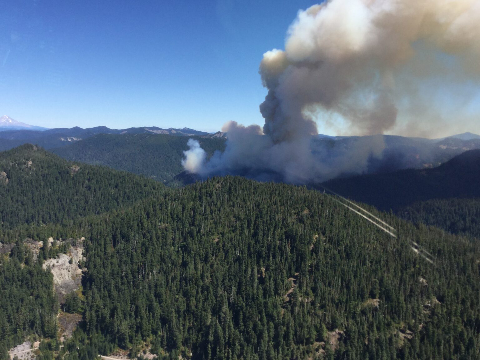
Oregon’s Wildfire Risk Map: How Misinformation Fueled Its Demise
In the wake of Oregon’s devastating 2020 fire season, which destroyed over 2,000 homes, state lawmakers commissioned a wildfire risk map to assess the vulnerability of every property in the state. This initiative, aimed at guiding fire-resistant construction codes and targeted home protection measures, mirrored similar risk assessments provided by real estate platforms like Zillow. However, what began as a proactive approach to wildfire preparedness quickly devolved into a maelstrom of misinformation and public outcry, ultimately leading to the map’s demise.
Around the same time the state’s map was released, insurance companies began dropping homeowner policies and increasing premiums in Oregon, mirroring a trend seen in other disaster-prone areas. While insurers typically rely on their own sophisticated risk models, the narrative emerged that the state’s wildfire risk map was to blame for these insurance woes. This claim, amplified by social media and some mainstream news outlets, rapidly gained traction despite denials from both insurance companies and regulators.
The escalating public anger went beyond insurance concerns. The state’s map was accused of being a tool for “depopulating rural areas,” resonating with existing anti-government sentiments. Conspiracy theories, including the UN-centric “Agenda 21,” were invoked, alleging a plot to force people into cities for easier control. Despite officials’ attempts to clarify the map’s purpose, the misinformation campaign had taken root.
Adding fuel to the fire was the state’s handling of the map’s rollout. Homeowners received letters informing them of their “extreme risk” designations with little prior notification and a short appeal window. This perceived lack of transparency and public engagement further fueled resentment and distrust, creating a fertile ground for misinformation to flourish.
The campaign against the map ultimately proved successful. Despite the insurance industry’s confirmation that they hadn’t used the state’s map in their decision-making, and the passing of legislation explicitly forbidding insurers from using the map for rate setting, the damage was done. Politicians capitalized on the public outrage, framing the map as a bureaucratic overreach infringing on property rights.
Despite attempts to revise and re-release the map with increased community outreach and clearer terminology, the opposition persisted. Thousands of property owners filed appeals, and some counties even challenged the risk designations for entire regions within their jurisdiction. The controversy continued to dominate the political landscape, ultimately leading to a legislative vote to repeal the map and its associated mandates.
The saga of Oregon’s wildfire risk map serves as a stark reminder of the potency of misinformation, particularly when it intersects with pre-existing anxieties and distrust of government. Despite the scientific basis of the map and its potential to mitigate wildfire risks, the narrative of government overreach and its supposed impact on property values and insurance proved more persuasive, underscoring the importance of clear communication and public engagement in policy implementation. The repeal of the map, while a political victory for its opponents, represents a setback for proactive wildfire management in a state increasingly vulnerable to the impacts of climate change.


